USGS network generates local real-time hydrological data
Submitted on 27 July 2015 - 11:50am
This article is reproduced by CienciaPR with permission from the original source.
CienciaPR Contribution:
No
Original Source:
By:
Gerardo E. Alvarado León
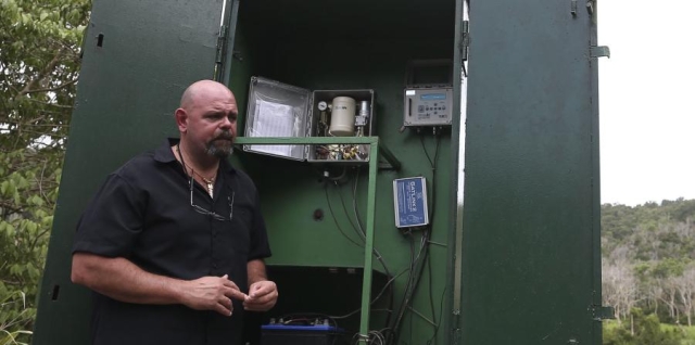
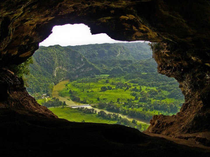
Esta estación mide el nivel del río Grande de Loíza, cerca de Carraízo, explicó David Hernández, jefe de Operaciones de Campo del USGS. (José "Pipo" Reyes)
The United States Geological Service (USGS) keeps track of water data, including rivers, lakes, and acuifers.
The original article is available in Spanish.